
Vector Map Drawing for Tourism, Real Estate & Wayfinding
Our vector map drawing service redraws scanned, photographed or sketched maps as clean, layered artwork you can recolor, relabel and print at any size. Tourism boards, real estate marketers, sign makers, publishers and event teams use the files for visitor guides, location maps, wayfinding signs and posters. Each road, coastline and label is drawn by hand, from $7 per image.
- Roads, rivers and borders drawn by hand on separate layers
- Live text labels you can edit or translate
- 24-hour standard delivery, rush from 6 hours
- QC review, 2 free revisions and a money-back guarantee
What Is Vector Map Drawing?
A vector map is built from paths and shapes instead of pixels: streets are strokes, parks and water are filled areas, and place names are live text. That structure lets you change a color, hide a layer or enlarge a district for a poster without blurring, and it keeps the file light enough for a website.
- Road hierarchy shown through line width
- Water, parks and buildings as clean fills
- Labels kept editable for future updates
Map Styles We Draw
Pick the closest style, or send an example map you like and we match it.
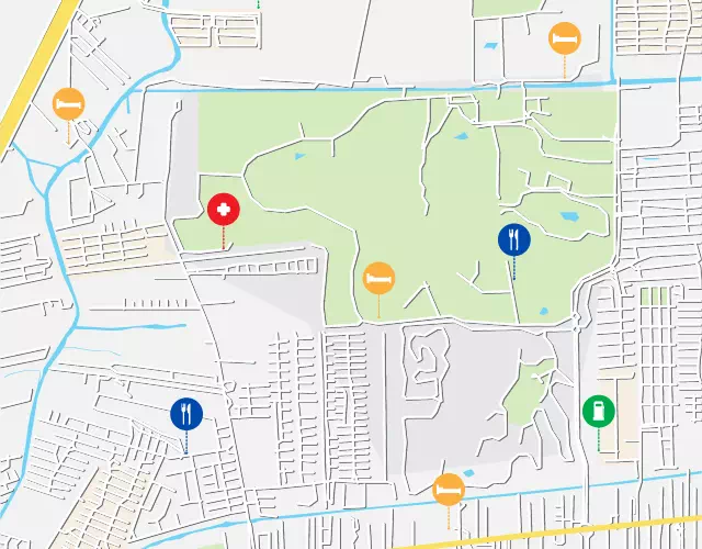
Street & City Maps
Neighborhood and downtown maps for visitor guides, hotel cards and property brochures.
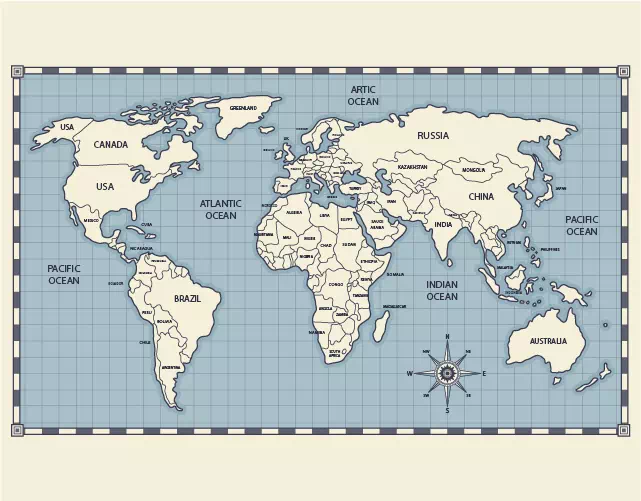
World & Country Maps
Clean continent and country outlines for reports, classrooms, shipping pages and wall art.
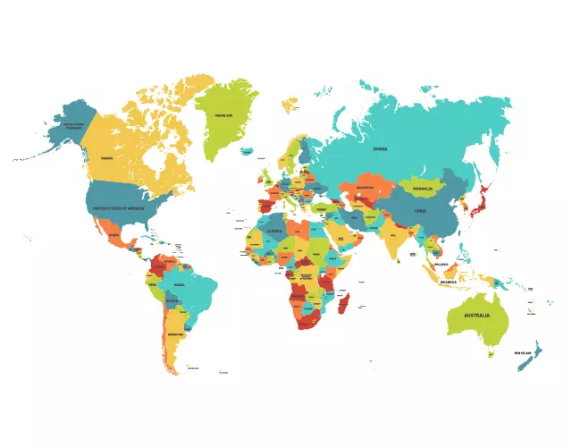
Boundary & Region Maps
Counties, districts or sales territories with borders that close properly for color fills.
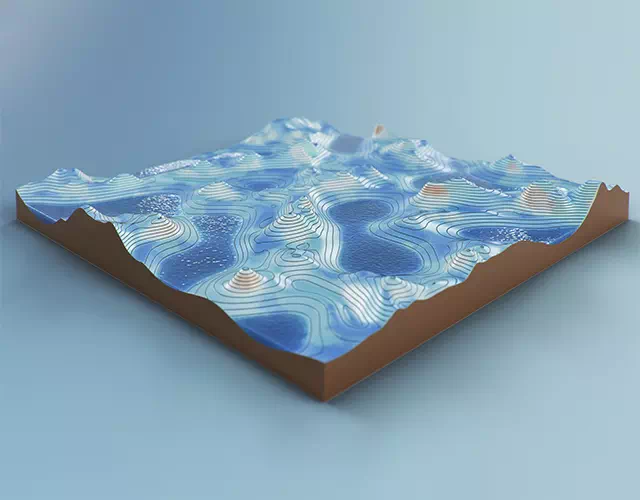
Terrain & Physical Maps
Mountains, lakes and rivers stylized for trail guides, parks and outdoor brands.
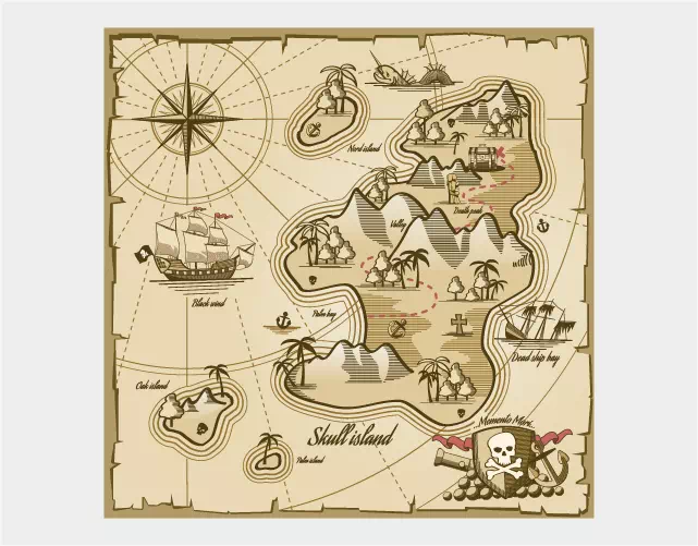
Thematic & Data Maps
Shaded regions for statistics, election results or market coverage in reports and decks.
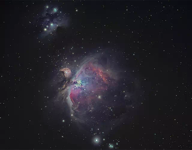
Star & Sky Maps
Constellation charts for posters, keepsakes and engraved gifts. See laser engraving artwork.
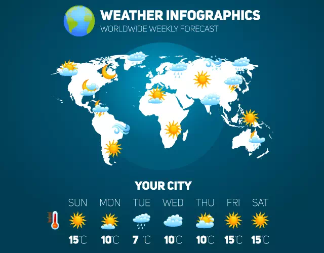
Weather & Climate Maps
Zones, fronts and symbols redrawn for broadcasts, textbooks and infographics.
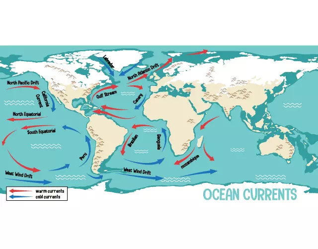
Geologic & Resource Maps
Rock units, fault lines and resource areas redrawn from survey scans for presentations.
Maps Before and After Redrawing
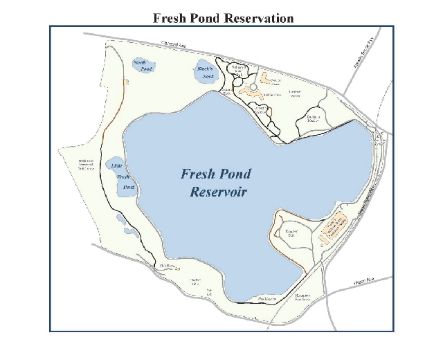
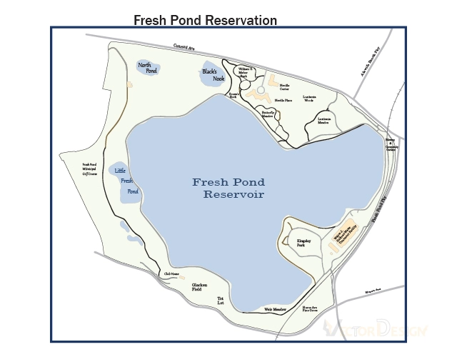
Real map jobs: the raster file we received on the left, the finished vector map on the right.
Park map redrawn in vector
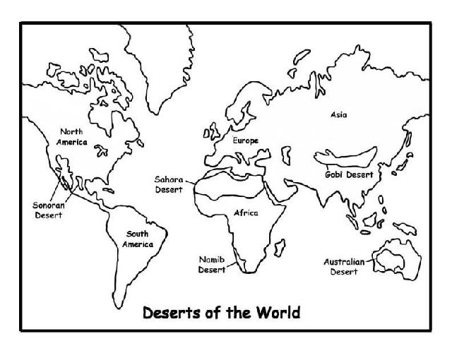
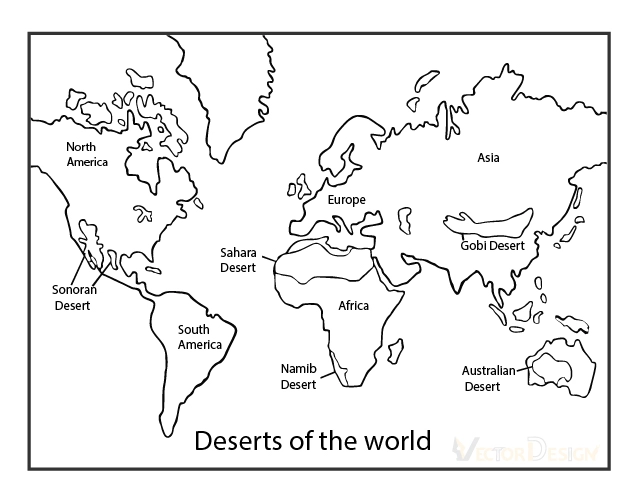
World map outline redrawn
Who Commissions Our Maps
Anyone who needs people to find their way, on paper, on a sign or on screen.
Map Drawing Price
A simple location or campus map starts at $7 per image. City-wide street maps, dense labeling and multi-layer thematic maps cost more because they take longer. Your quote states the exact price before you pay.
- 24-hour delivery on standard orders
- Rush in as little as 6 hours; extra charge may apply
- Payment via PayPal, Visa or Mastercard
- AI, EPS, SVG, PDF and DXF available
A Series of Maps?
Visitor guides, property portfolios and sign systems often need many maps with one look. Send the first map and a list of the rest; we set the style once and quote the full series.
- Shared colors, fonts and icons across the series
- Series pricing set after the first map
- Monthly invoicing for ongoing updates
- Unbranded files with NDA on request
Maps are part of our vector line drawing services. Planning a site or building? Pair a map with a vector floor plan drawing or an architectural vector drawing of the property. Maps meant for wood or metal go to laser engraving artwork.
Why Teams Hand Their Maps to Us
Hand-placed lines
Every street and shoreline is drawn by an artist, so curves stay smooth and junctions meet cleanly.
Built in layers
Roads, water, parks, buildings and text each sit on their own layer for quick edits and translations.
Your brand on the map
We apply your palette, fonts and icon set, and keep them identical across a whole series.
A studio since 2010
Brooklyn-based, 40+ in-house designers, a QC review on each map and a refund if it misses your brief.
Screenshots & auto-trace
- Blurry labels that cannot be changed
- Jagged roads and broken junctions
- Clutter carried over from the source
- Pixelation on posters and signs
Drawn by Vector Design US
- Editable, translatable text
- Smooth roads that join properly
- Only the features you asked for
- Sharp at poster or sign size
Downtown Visitor Map, Redrawn
Example: a small-town visitor bureau sends a scanned paper map of its downtown and wants a cleaner version for a printed guide and a street sign.
- The brief
- Keep the street grid, add 12 points of interest with numbered icons, use the bureau’s two brand colors and size it for a fold-out guide.
- What we do
- We redraw streets by importance, fill parks and the river, place icons and labels as live text, and drop anything the bureau marked as outdated.
- What you receive
- Layered AI and EPS, a print PDF and an SVG for the website, with the map style saved for later editions.
How It Works
Upload the source
Send a scan, photo, PDF or sketch of the map, plus the areas, labels and style you need.
Receive the quote
We review the map and email a fixed price and turnaround; payment by PayPal, Visa or Mastercard starts work.
Drawing and QC
Artists draw each layer; QC checks labels, road joins and colors against your notes.
Get your map
Download AI, EPS, SVG, PDF or DXF, and use the two free revision rounds if needed.
Words From Clients Who Return
“I often receive jpg logos from clients who need to do signage or embroidery, where vector art is required. I’ve used Vector Design for several years and they are always extremely quick and the quality of their vector files is excellent.”Merili LoucksSignage & embroidery · Google review
“I’ve been in the promotional products industry for 45 years and they are the most efficient design company I have worked with.”Don GardinerPromotional products · Google review
“I have used their services on several projects, always timely and very professional. They are our go-to partner.”Scott TurnerRepeat client · Google review
Rated five stars in 500+ Google reviews.
Vector Map Drawing: Frequently Asked Questions
What is vector map drawing?
Vector map drawing is redrawing a map as scalable paths, shapes and live text instead of pixels. Roads, water, parks and boundaries sit on separate layers, so the map can be recolored, relabeled or enlarged for a poster or sign without losing sharpness, and it still loads quickly on a website.
How much does vector map drawing cost?
Simple location and campus maps start at $7 per image. Larger street networks, heavy labeling and thematic shading raise the price because they take more drawing time. Upload the source map and we email an exact quote and delivery time; you pay only after accepting it.
Can I send a screenshot or any other map?
Yes, send any map you need redrawn, whether it is a screenshot, a scan, a brochure page or a hand sketch. Please make sure you have the right to use that source; copyright responsibility stays with you, as we only provide the drawing service. We then redraw the features you need in your own colors and fonts.
Can you add icons, labels and our brand colors?
Yes. Send a list of points of interest, your color palette and fonts, and any icons you already use. We place labels as live text, so they can be corrected or translated later, and we keep the same symbols across every map in a series.
How long does a map take?
Simple maps usually arrive within 24 hours of payment. Rush delivery is available in as little as 6 hours and may carry an extra charge. Detailed city maps and multi-map series are scheduled after we review the sources, and that timeline is confirmed in your quote.
Which formats will I receive?
Maps come as layered AI and EPS for editing, PDF for print, SVG for websites and interactive pages, and DXF if a sign maker or engraver needs a CAD-friendly file. Tell us the final print size and we set line widths so small streets remain readable.
What happens after I upload my map?
We review the source and send an exact quote by email. Once PayPal, Visa or Mastercard payment arrives, an artist starts drawing. Two free revisions are included, and should the finished map still miss your brief, the 100% money-back guarantee lets you claim a refund.
Get Your Map Redrawn
Upload the map you have, however rough. We review it, email an exact price and delivery time, and start drawing when payment clears.